


Preserving Our Past: How GeoScan 3D Supports Heritage Restoration with LiDAR
Preserving Our Past: How GeoScan 3D Supports Heritage Restoration with LiDAR Scanning
Introduction
Restoring a heritage-listed building starts with understanding what makes it unique. In a historic church, that might be the geometry of a vaulted ceiling, the shape of stone columns, or the relationship between original walls and later additions. These details matter when planning work that needs to fit the existing building and respect its character.
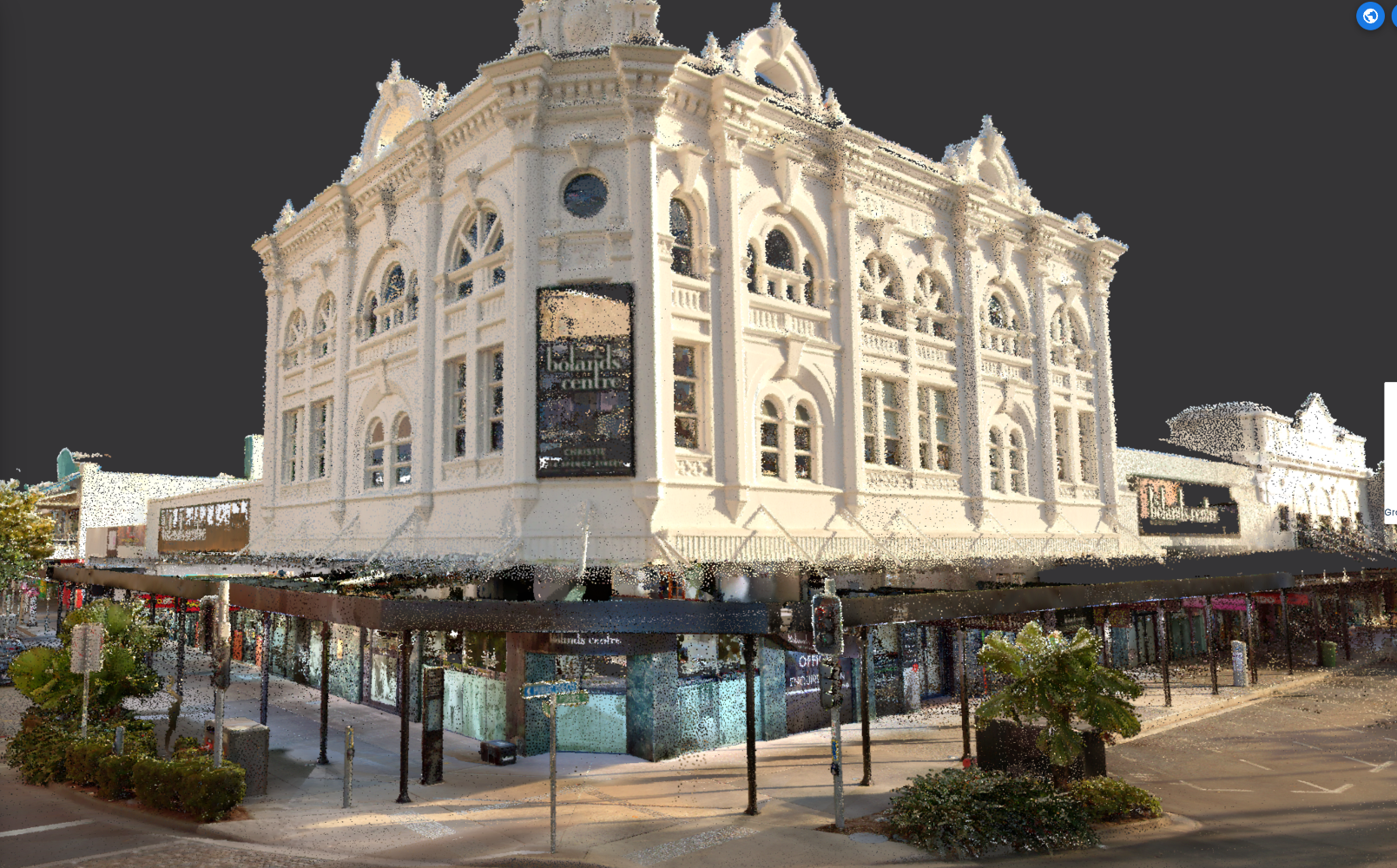
At GeoScan 3D, we use LiDAR scanning to capture detailed, measurable records of existing buildings. This information provides a foundation for modelling heritage assets, helping architects, engineers and conservation specialists plan renovations and restoration works with a clearer understanding of the structure.
Historic buildings rarely match a perfectly straight set of drawings. Walls can lean, floors can vary in level, and architectural features often differ from one another. Original plans may be missing or may no longer reflect the building. Capturing these variations helps project teams design around actual conditions.
Key Benefits
- Detailed records of existing geometry: Capture visible building surfaces, architectural forms and spatial relationships to support restoration planning.
- Better information for modelling: Provide a measured reference for developing 3D models, floor plans, elevations and sections.
- Earlier identification of potential conflicts: Help designers assess how proposed additions, services and access improvements fit within existing spaces.
- More effective collaboration: Give owners, consultants and contractors a shared digital reference for discussing the building and proposed works.
- A lasting heritage record: Preserve survey information that can support future maintenance and conservation projects.
How the Workflow Creates Value
At GeoScan 3D, the workflow begins with understanding what the project team needs to achieve. Planning a church refurbishment requires different information from documenting an ornate façade or preparing a model for a major adaptive reuse project. Agreeing on the required coverage, accuracy and outputs helps shape the survey from the outset.
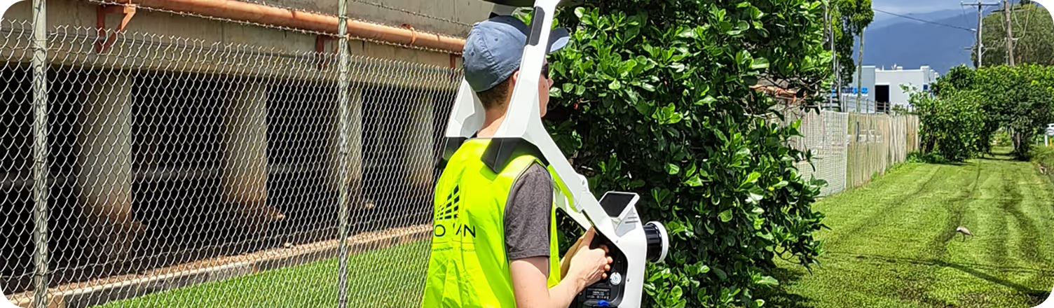
Field capture can include our mobile NavVis VLX-3 scanner, with complementary capture methods selected where appropriate. Scanning from multiple positions helps record accessible interiors and exterior surfaces, building a three-dimensional point cloud of the surveyed areas.
This point cloud becomes the measured reference for preparing project deliverables. Depending on the agreed scope, these can include 2D floor plans, elevations, building sections and 3D models. The modelling process turns the captured geometry into information the design team can use, with the level of detail tailored to the project.
For heritage work, that distinction matters. A general building model may describe the form of an arch, while detailed conservation of its decorative stonework may require closer capture and more specialised documentation. LiDAR records visible surfaces; concealed construction and material condition still require appropriate investigation.
Where Teams Use It Most
GeoScan 3D’s scanning approach supports projects where understanding an existing heritage building is essential to planning its next stage of use.
For churches, survey information can help teams understand complex internal spaces, assess clearances beneath galleries and roof structures, and coordinate proposed lighting, services or accessibility improvements. Designers can review how new elements relate to the existing architecture before work begins.
For historic civic buildings, halls and other heritage-listed properties, scan data can support refurbishment scoping and adaptive reuse. Plans, sections and models help teams assess layouts, floor levels and connections between spaces while retaining a clear reference to the surveyed building.
Restoration teams can also use captured geometry to document selected architectural features and plan further investigations. Where repeat surveys are intended to assess movement or change, the capture method and survey controls need to be designed specifically for that purpose.
The information also makes project discussions easier. A building section or 3D view can help owners, heritage advisers and contractors understand a proposed intervention more clearly than photographs or written descriptions alone.
Making the Data Useful After Delivery
A heritage survey should remain useful beyond the immediate design stage. Clearly organised point clouds, drawings and models give building owners a reference they can return to when planning maintenance, future alterations or further conservation work.
That usefulness depends on documenting what was captured, when it was surveyed and where coverage was limited. Clear file naming, agreed formats and an appropriate level of model detail help future users understand the information and its intended purpose.
Keeping the original scan data alongside the derived model is particularly valuable. Modelling involves interpretation and simplification, while the


