Geoscan3D collaborates with highly experienced geophysicists and anthropologists on projects involving the mapping of Traditional Owners’ burial sites

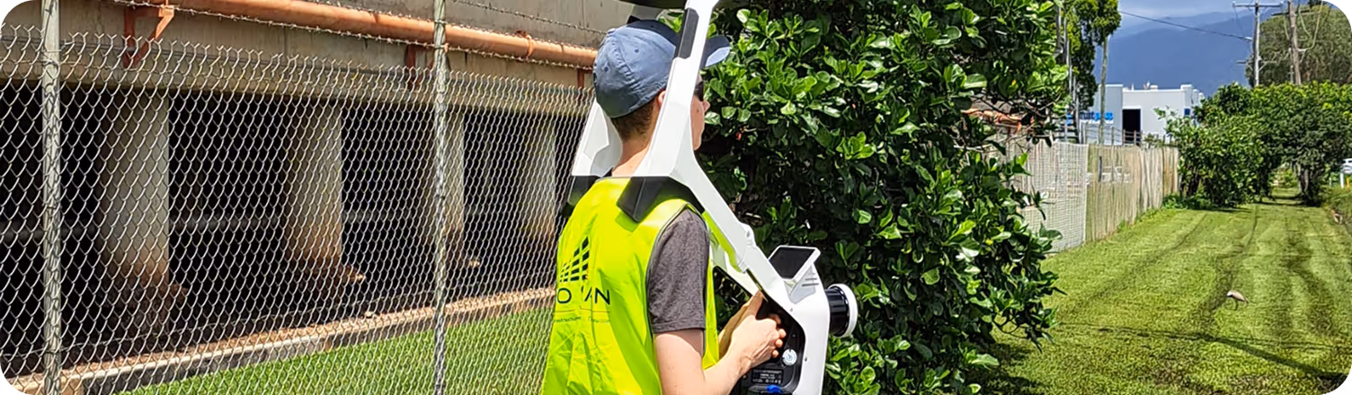
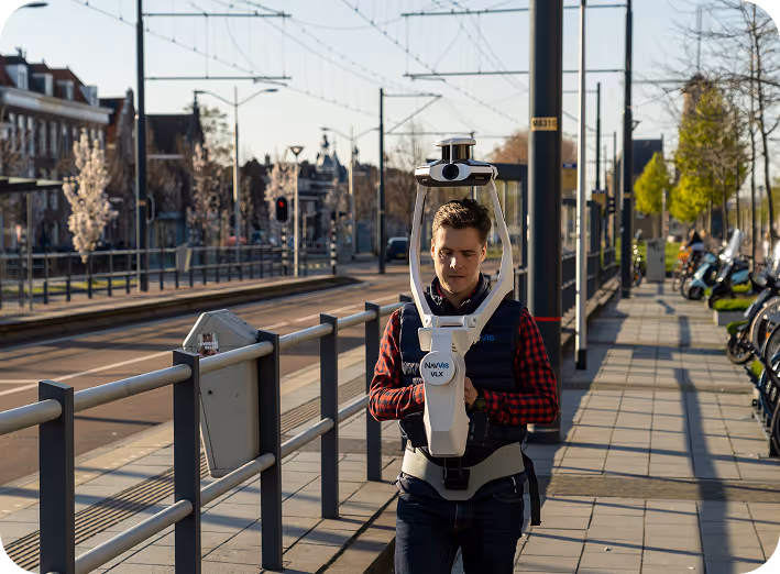
Our use of industry-leading hardware and software allows us to capture complex geometries and large-scale environments with millimetric precision.

We don't just provide scans; we deliver actionable digital intelligence. Our workflows are designed to integrate seamlessly into your BIM, CAD, or GIS platforms.
The Geo Scan 3D team consists not only of engineers with technical expertise, but also of creative thinkers with a passion for transforming the physical world into digital perfection. Each of us aims to make our partners' lives easier by transforming complex datasets into meaningful projects. We develop stronger, faster, and smarter strategies against the biggest challenges on your digital transformation journey, using our collective intelligence and solution-oriented approach. We offer clients a fill end to end solution and can manage your data on your behalf as required.

At the heart of our services lies the seamless collaboration of years of field experience and advanced software engineering. Our expert operators, utilizing industry-leading technologies such as NavVis and LiDAR, add value to every project with their innovative perspective stemming from the METU Technopark ecosystem. Thanks to this powerful team synergy, we transform even the most complex structures into digital twins with millimeter precision, making data the most valuable asset of your project.

Co-Founder-Chief Drone Pilot
Mark has a professional background in the mining industry "above and below ground", geospatial surveying, engineering, Pilot (Manned & UAV), and commercial building management.
.avif)
Project Co-ordinator / Liaison
Stephanie, is the Site Co-ordinator between Geoscan3d and the local communities.. She is a natural with local community Elder’s
.avif)
Civil Engineer-Designer-Drone Pilot
Nilo, spent several years working for QLD rail, and a large Perth company. He now heads our design and CAD team.
.avif)
Administration
Denise, with 30 years in admin & strong accounting skills across industries, is Geo Scan 3D's organisational lynchpin, enhancing client service and operational efficiency.


With our motto "One Scan, Multiple Solutions," we transform a single dataset from your site into numerous outputs such as Digital Twin, 3D Modeling, 2D Floor Plans, and Asset Tracking. This translates to both time and budget savings for our clients.
Geoscan3D collaborates with highly experienced geophysicists and anthropologists on projects involving the mapping of Traditional Owners’ burial sites. Our team, operating across Australia, is comprised not only of scanning specialists but also includes CASA-certified commercial drone operators and spatial data experts. We possess all the necessary expertise to conduct the most sensitive and secure operations.


.avif)