


Mapping burial grounds
Mapping burial grounds using digital methods: i.e LiDAR - Combined with MCGPR for Accurate Berial Site data.
Introduction
Identifying unmarked graves is primarily important for their protection, which requires knowing their exact or approximate location. Emphasis is placed on accurately identifying and mapping burial grounds using digital methods and geophysical investigations. Ground Penetrating Radar (GPR) has been successfully used to define the probable location of burial sites using non-invasive methods.
Geoscan3D conducts micro-topographic surveys to identify subtle surface features, with unmarked graves often appearing as depressions or mounds mapped through contour intervals as fine as 5 cm. Graves typically consist of excavations into hard subsoil backfilled with looser material; over time, this settles, and as coffins or papaerbark decay or collapse, distinct surface depressions may form in some cases. Under suitable conditions, this technique can produce detailed and accurate contour plans highlighting potential grave locations and other surface disturbances.
In areas of dense vegetation, ground visibility may be improved by slashing to no closer than 5 cm above the surface or by waiting for seasonal die-back. Vegetation can also indicate grave locations, so a combined micro-topographical and botanical survey may improve results.
Another reason is to locate vacant space within cemeteries for future burials or developments without disturbing existing graves, particularly where families wish to be buried near relatives in older, unused cemeteries.
Finally, identifying unmarked graves supports the creation of accurate cemetery plans, enabling the placement of commemorative markers and contributing to community history projects.
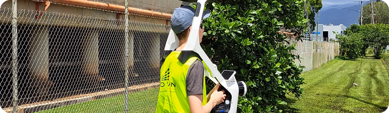
Geoscan3d Mapping makes detailed maps of your cemetery using drones and MCGPR (Multi Channel ground-penetrating radar) surveys. Chronicle software then hosts these maps and links them with your cemetery records. This means you get an accurate, interactive map that shows who is buried where.
Ground penetrating radar (GPR) is a non-invasive and efficient scientific tool in burial analysis that can 'see the unseen,' answering both simple questions such as the existence and boundaries of burials, as well as more difficult questions like whether burials are intact or decayed
Key Benefits
- Identifying unmarked graves using using drones and MCGPR
- By training local communities in the use of mapping tools and processes
- empowering communities to manage and preserve their own cultural heritage independently
- Locate vacant space within cemeteries for future burials
- (GPR) is non-invasive
- Better documentation for future historical preservation
How the Workflow Creates Value
Ground penetrating radar (GPR) is a non-invasive and efficient scientific tool in burial analysis that can 'see the unseen,' answering both simple questions such as the existence and boundaries of burials, as well as more difficult questions like whether burials are intact or decayed
Making the Data Useful After Delivery
The challenge for scanning of graves sites using GPR and Lidar techniques is making the data useful after delivery. We have several platforms of which we deliver the data depending on the clients needs other things to consider are the clients access to technically minded people, and someone someone that can update the data as time goes on. Geo scan 3-D collaborates with industry partners like Navvis , Chronicle & Cintoo and these cloud based platforms can be operated from relatively basic computers to provide a wonderful insight of the history of one ancestors
Conclusion
Should communities be thinking of Mapping ALL their cultural sites, Geoscan3D collaborates with highly experienced geophysicists and anthropologists experianced in this delicate topic, and is more than happy to meet the community on-site to discuss the desired needs.


