Learn how LiDAR and 3D modelling create accurate site data for cultural sites or areas of cultral significance.
Understand how GPR scanning helps locate hidden utilities and subsurface risks before excavation starts.
April 23, 2026
234
Learn how to move from disconnected field data to structured asset registers that teams can actually use.
Find out how better asset tracking helps teams schedule maintenance, manage inventories, and improve accountability.
April 21, 2026
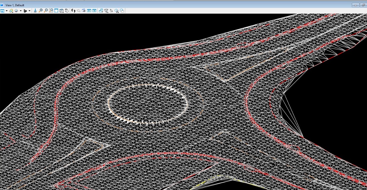
Discover the role of modern topo surveys in grading, drainage, access planning, and infrastructure design.
See how reliable topographical surveys reduce early-stage risk and support better design decisions from day one.
Explore how scan-to-plan workflows improve speed, consistency, and confidence in measured floor plans.
A practical guide to the continued value of clear 2D floor plans for documentation, operations, and fit-outs.
Understand how detailed 3D models help teams communicate ideas clearly and move projects forward with less friction.
April 24, 2026
May 11, 2026
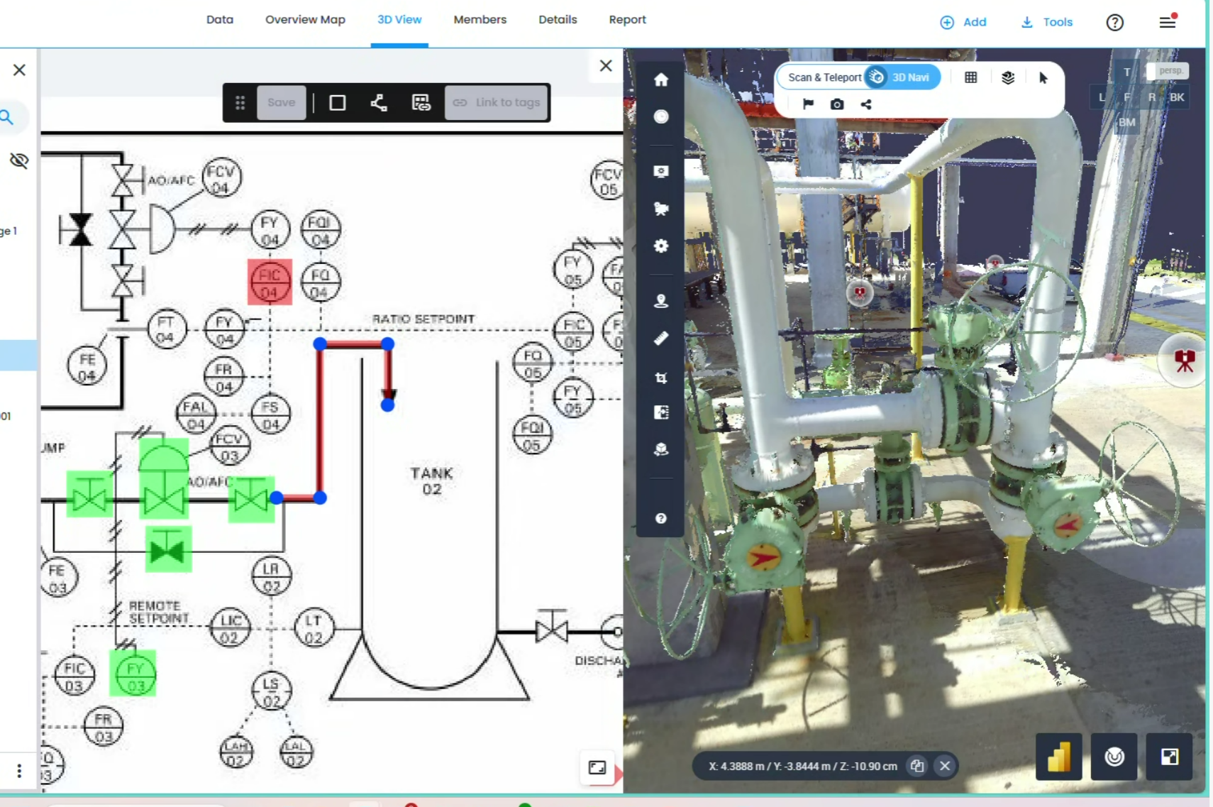
See how digital twins reduce clashes, streamline coordination, and prevent expensive rework before it happens.
A clear look at how digital twin services help teams centralize asset data, reduce guesswork, and make faster project decisions.


.avif)
.avif)
.avif)