Ports North

Ports North

Mourilyan Harbour

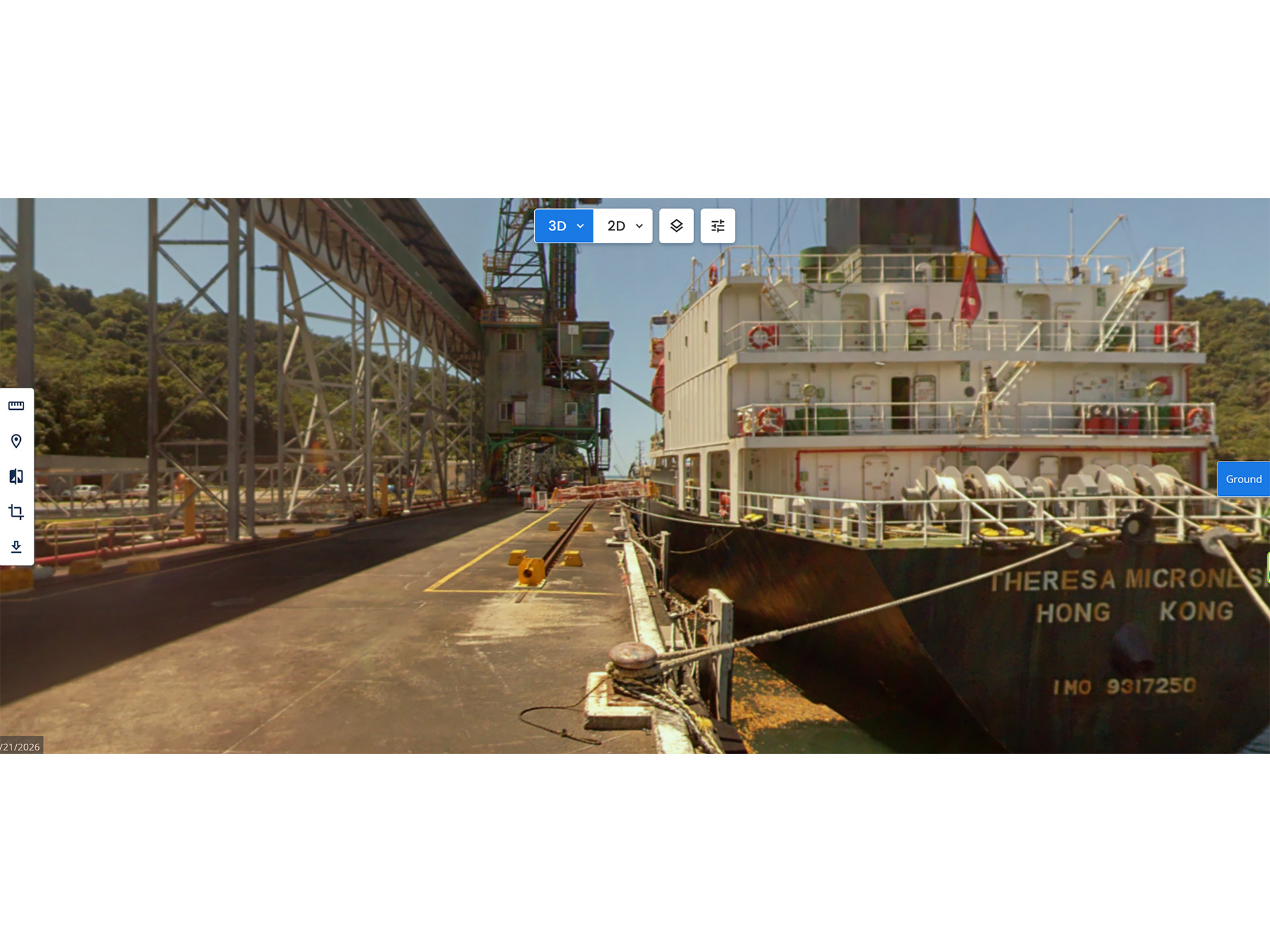
Mourilyan Warf Scanning

Client

Location

Project type

Asset scanned

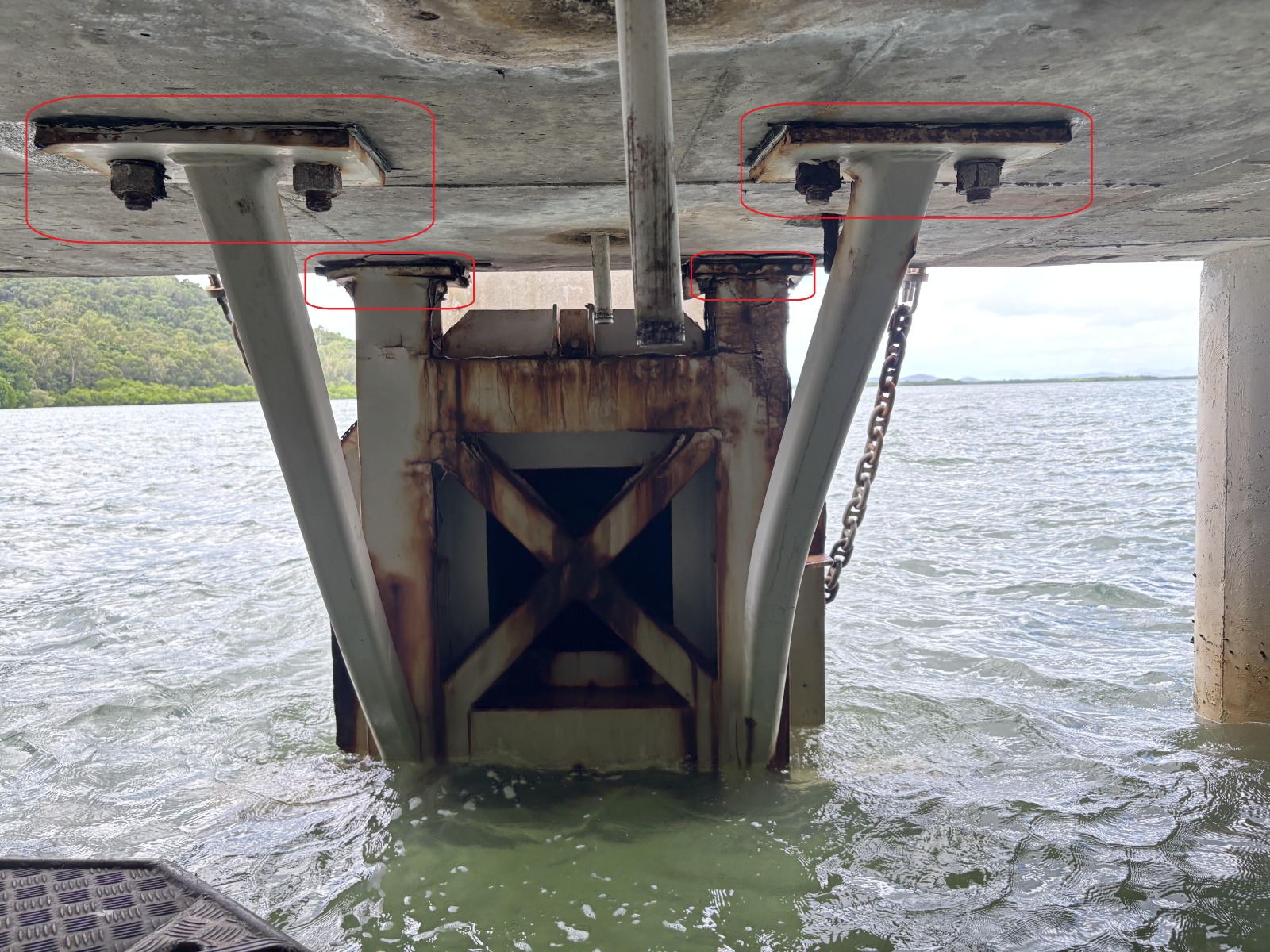
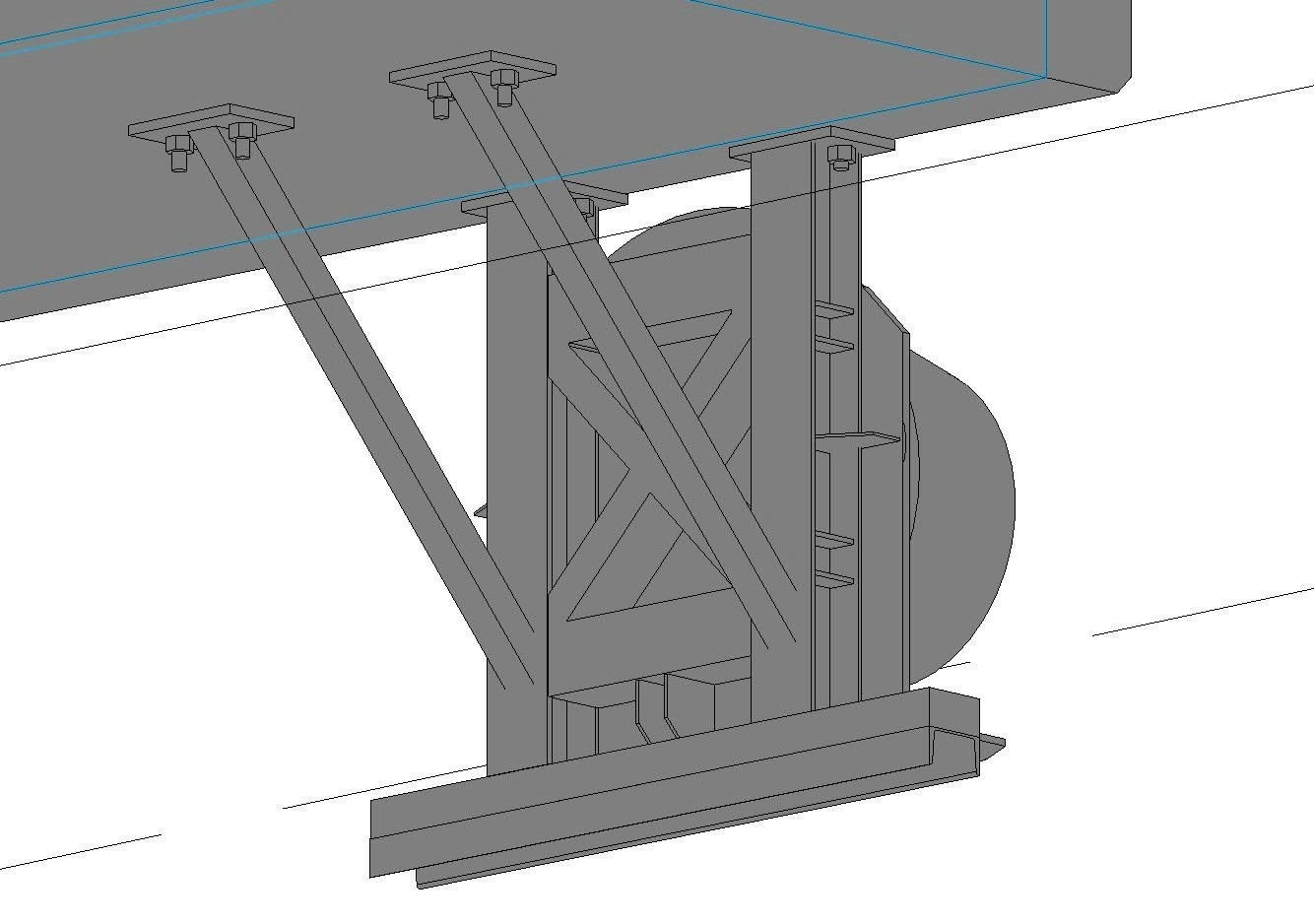
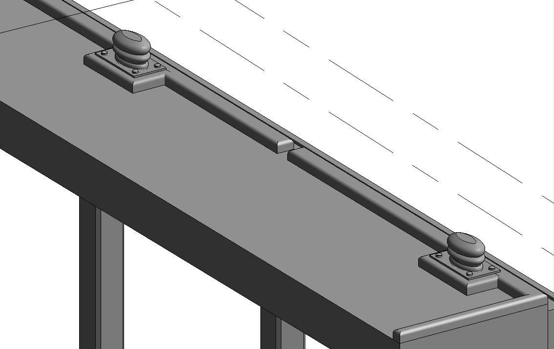
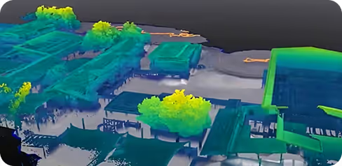
  • Survey of the bottom hold down bolts (fixing the rhs legs and the vertical frame of the Rear fender frames of the 12 fenders) at the soffit level of the Mourilyan Main Wharf Deck
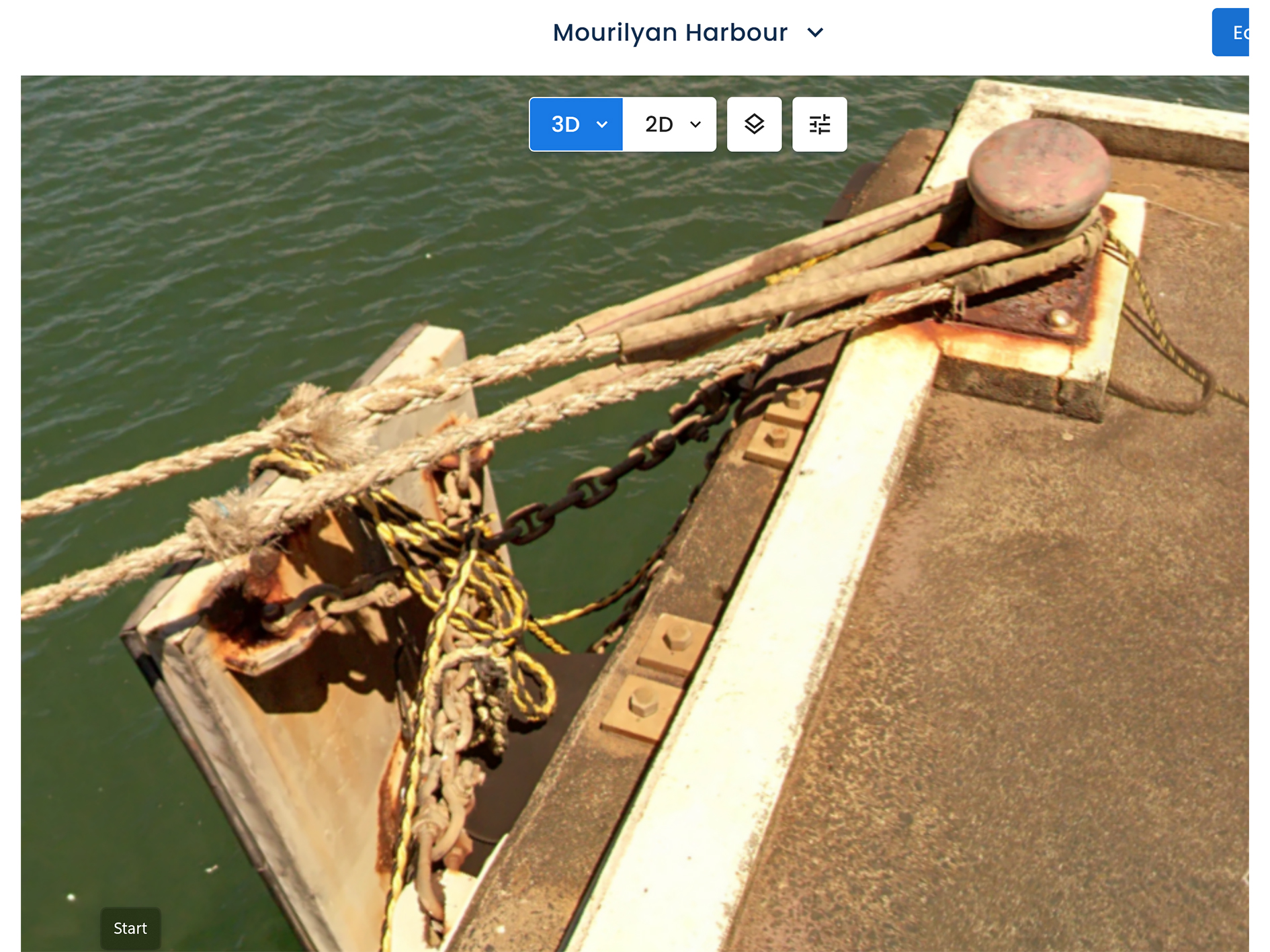
  • Survey of the top of M36 hold down bolts (fixing the vertical frame of the Rear fender frames of the 12 fenders) along the top edge of the Mourilyan Main Wharf Deck at the wharf quay line
  • Survey of the ends of the 96 / 316 s/s fixing bolts of the fender wall brackets (4 per wall bracket) of the 12 fenders along the vertical face of the Mourilyan Main wharf deck at the wharf quay lin
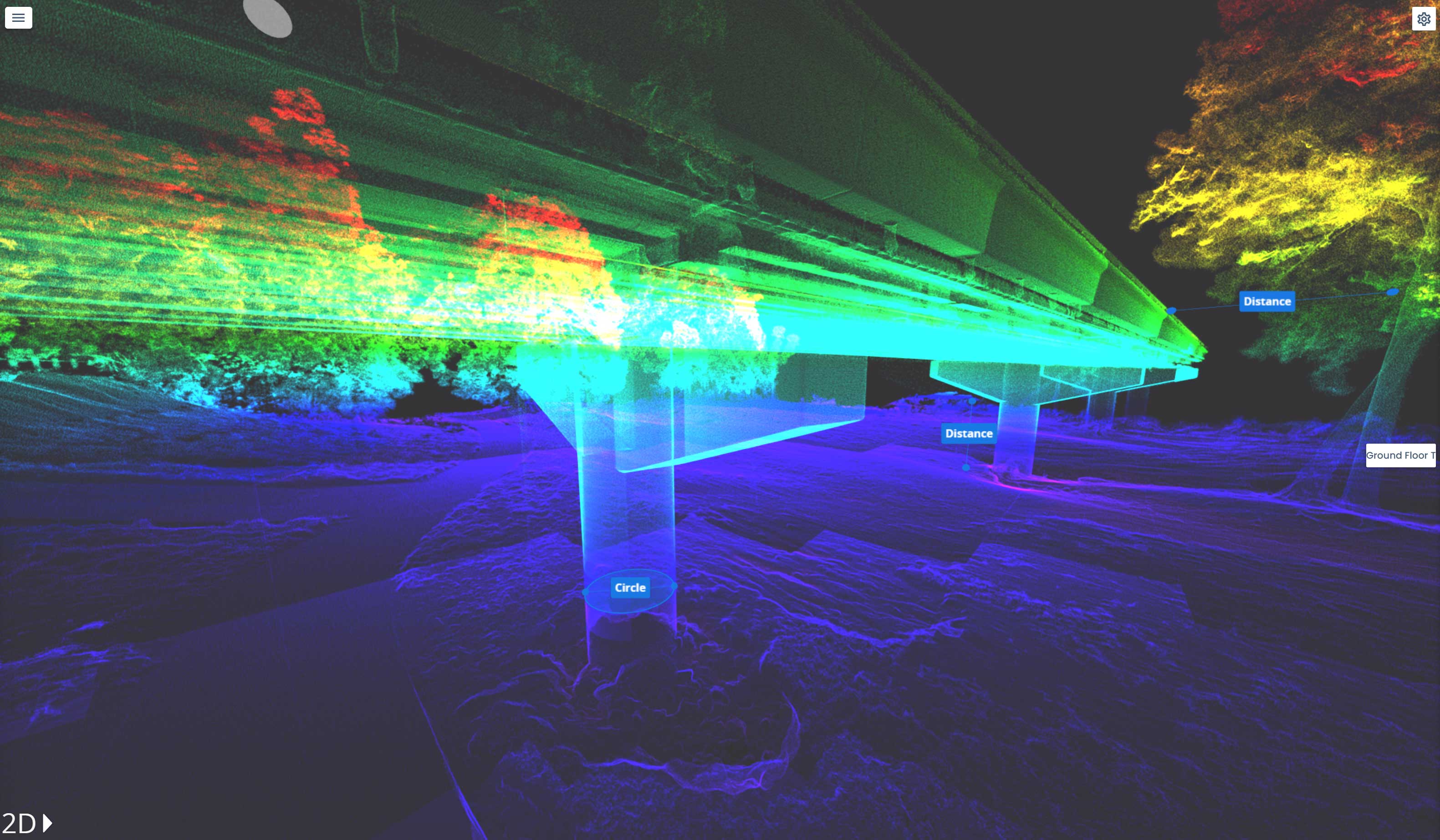
  • Survey to be using a Lidar with accuracy of measurements to better that 5mm
  • Survey to be in AHD and MGA20. referenced to existing permanent survey mark
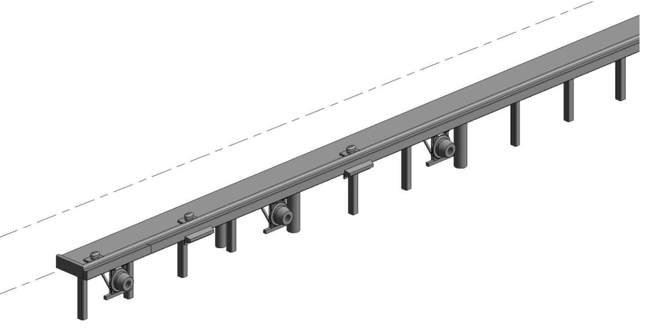
  • The deliverables CAD drawings (in 3D AutoCAD format that is also compatible with Bently
  • ‍

‍

‍

‍

Project Specifications
Project Type
Engineering
Service Provided
Lidar Survey / BIM Modeling / 2D Plans
Methodology
Accuracy Level
Total Area/Volume
Scanning Resolution
Technical Equipment
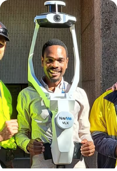
NavVis VLX-3, Pix4D Catch

Project Photo Gallery

No items found.

Recent Projects

Fast. Accurate. No BS. We fly to your site anywhere in Australia and get the scan done
then deliver web-ready outputs your whole team can use without specialised software.

Why Choose Us?

In a world where speed, precision, and data are critical, at Geo Scan 3D we don't just scan; we take your projects into the digital future. These are the core values ​​that set us apart in the industry:

One Scan, Unlimited Solutions

With our motto "One Scan, Multiple Solutions," we transform a single dataset from your site into numerous outputs such as Digital Twin, 3D Modeling, 2D Floor Plans, and Asset Tracking. This translates to both time and budget savings for our clients.

Certified and Experianced Team

Our team, operating across Australia, is comprised not only of scanning specialists but also includes CASA-certified ReOC commercial drone operators and spatial data experts. We possess all the necessary expertise to conduct the most sensitive and secure operations on time on budget