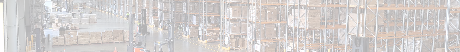
Digital Twin
Infrastructure
Local Government
Topo Surveys
Client
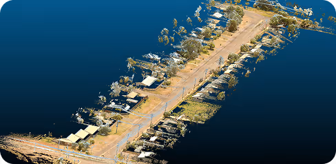
Mount Isa City Council
Location
Mount Isa, Queensland, Australia
Project type
Pilot · Condition Assessment
Asset scanned
8000 m
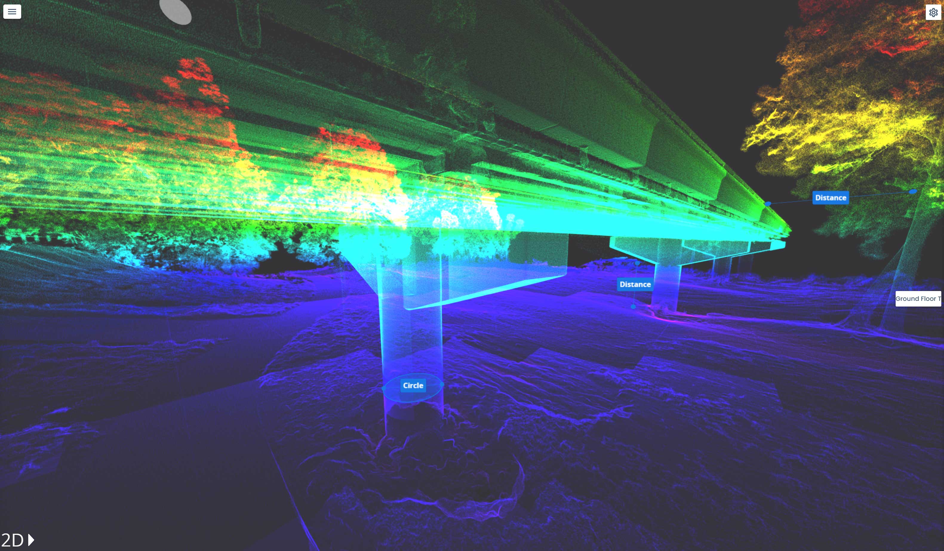
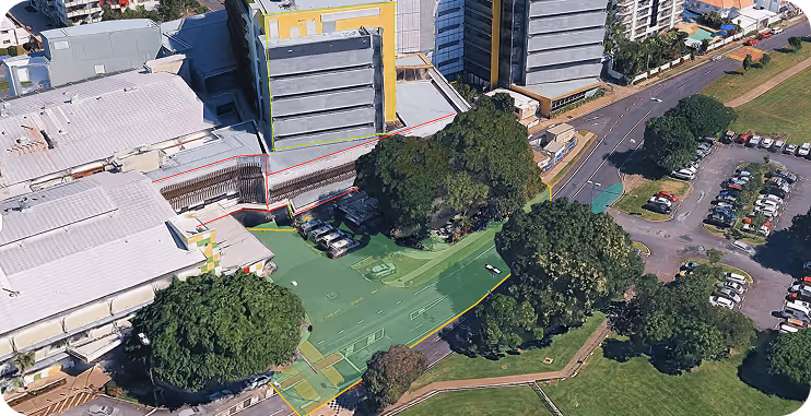
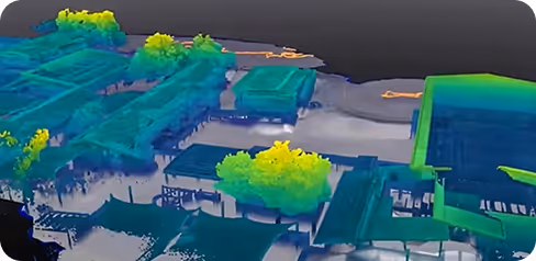
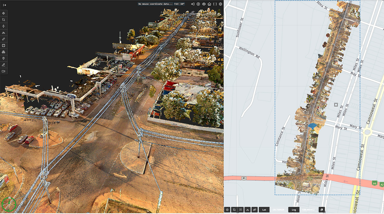
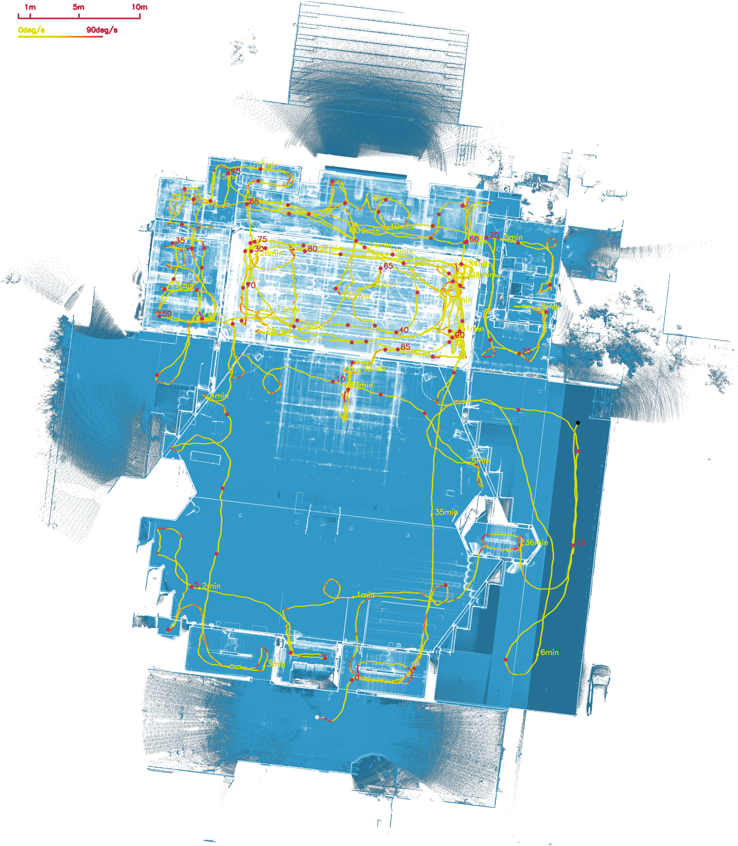
Geo Scan 3D piloted a project with Mount Isa City Council to scan and conduct condition assessment reports for:
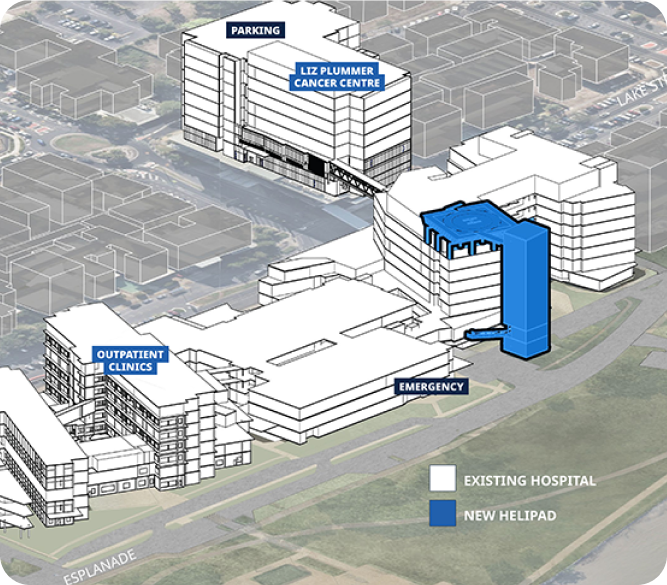
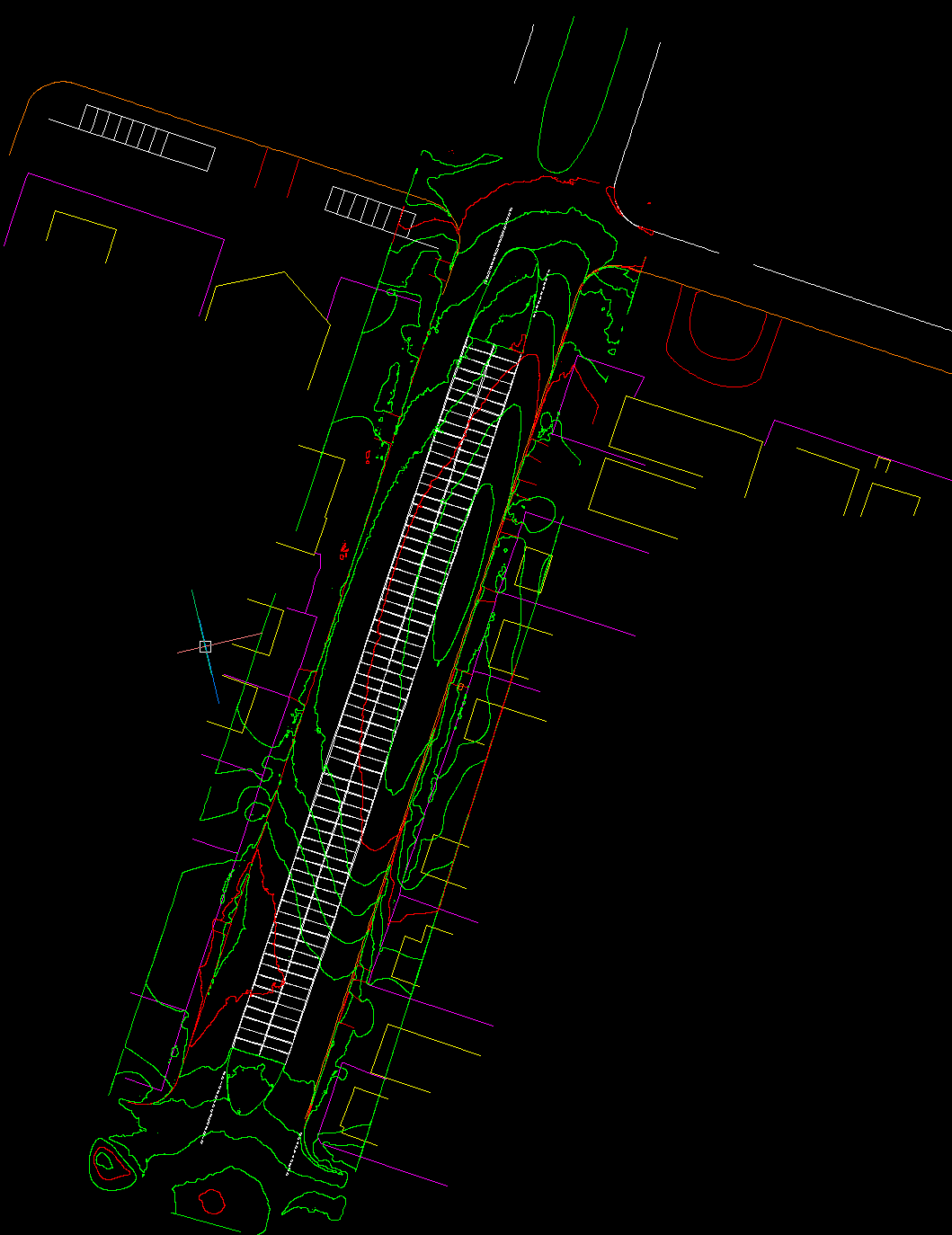
After the scan, Geo Scan 3D provided multiple deliverables including:
Using data from the initial scan, Geo Scan 3D continues to work with Mount Isa City Council to extract further information, as required.
The cost savings of this piloted project were huge. Budget blowouts and delays proved to be a thing of the past. Geo Scan 3D was able to give Mount Isa City Council the required information weeks earlier than had traditional methods been used, particularly due to labour shortage and saving on expenses associated with engaging professionals from out of town to attend sites, inspect and report.
Geo Scan 3D captured all necessary information that was electronically sent directly to required stakeholders and third parties.
Mount Isa City Council has now embraced the way of the future by utilising Geo Scan 3D mobile scanning and mapping services, and can now focus on allocating funds saved into other projects that had been put on the back burner.

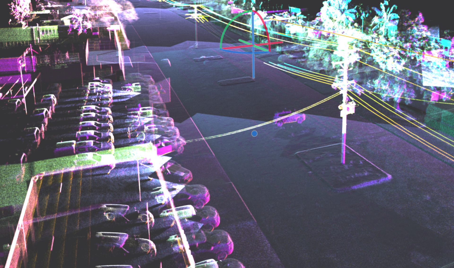

Fast. Accurate. No BS. We fly to your site anywhere in Australia and get the scan done
then deliver web-ready outputs your whole team can use without specialised software.
In a world where speed, precision, and data are critical, at Geo Scan 3D we don't just scan; we take your projects into the digital future. These are the core values that set us apart in the industry:

With our motto "One Scan, Multiple Solutions," we transform a single dataset from your site into numerous outputs such as Digital Twin, 3D Modeling, 2D Floor Plans, and Asset Tracking. This translates to both time and budget savings for our clients.
Our team, operating across Australia, is comprised not only of scanning specialists but also includes CASA-certified ReOC commercial drone operators and spatial data experts. We possess all the necessary expertise to conduct the most sensitive and secure operations on time on budget