Construction
Health
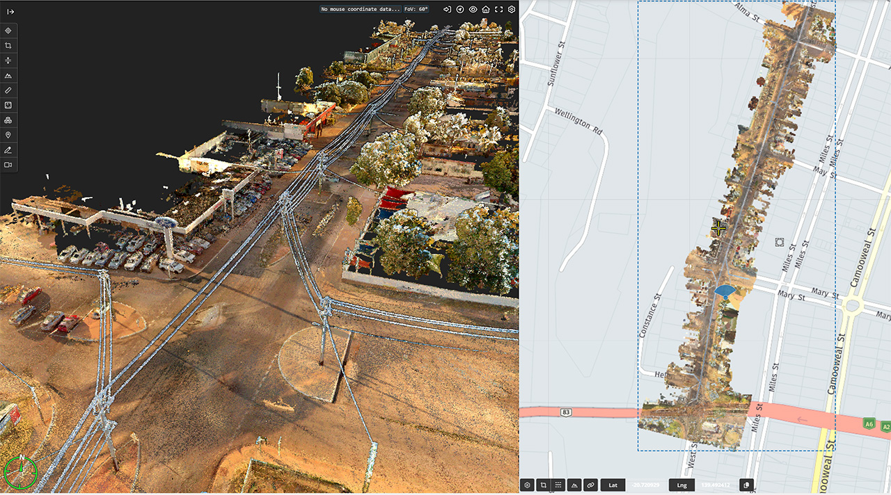
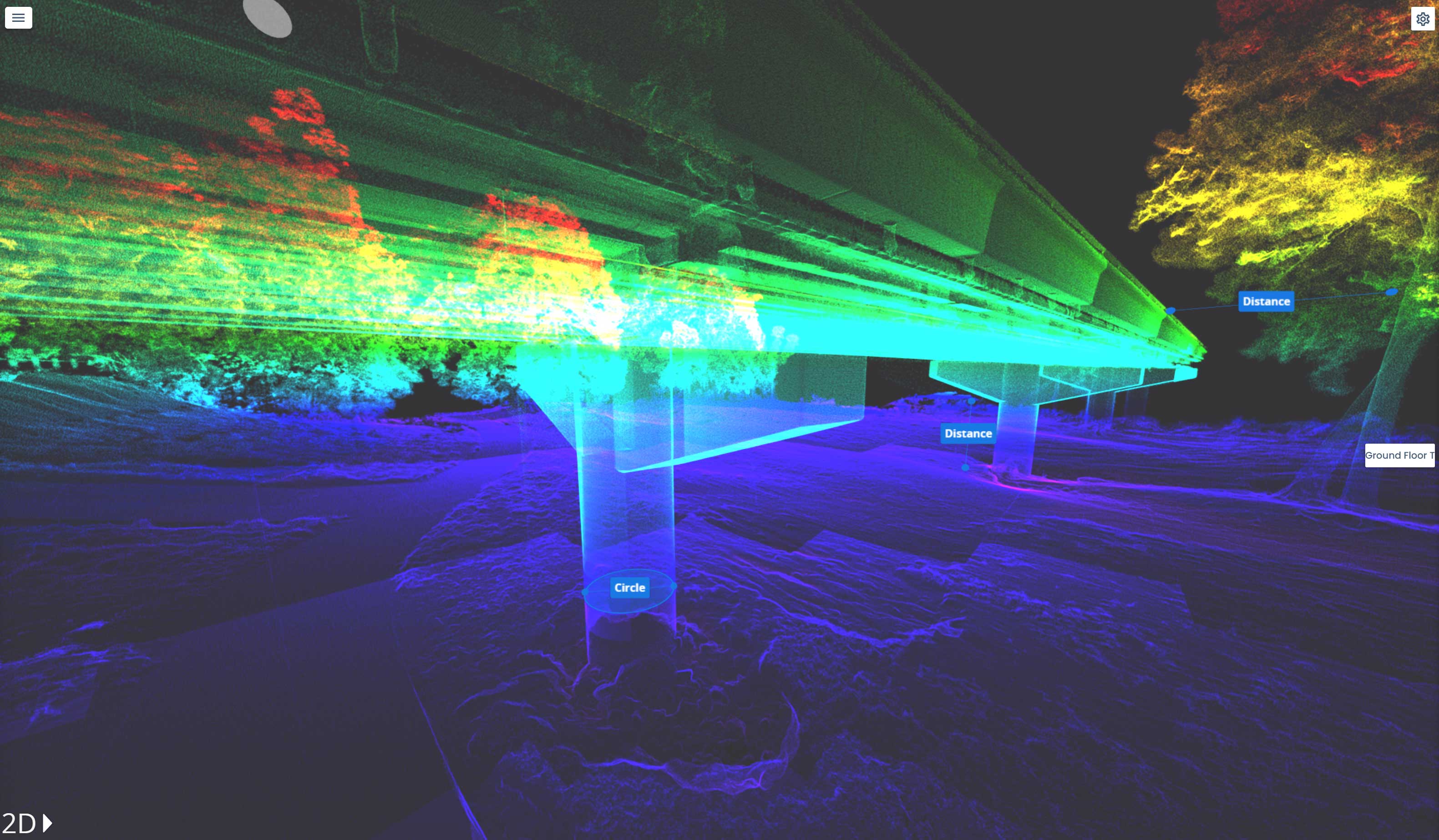
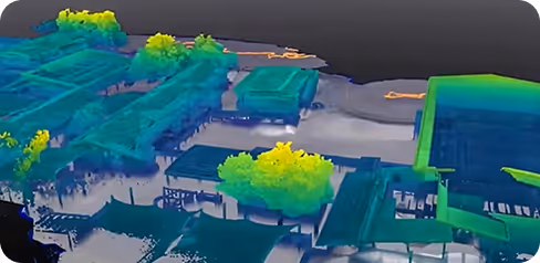
3D Scanning
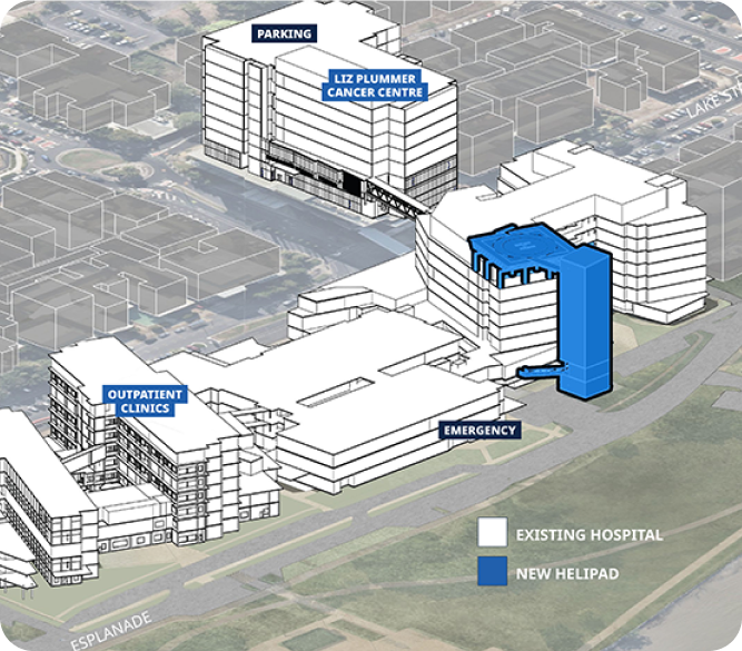
Redevelopment
Client
Hansen Yuncken
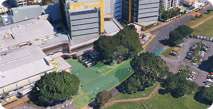
Location
Cairns, Queensland, Australia
Project type
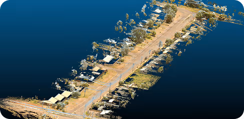
D-Block · Post-Demolition Survey
Asset scanned
Multiple Slabs
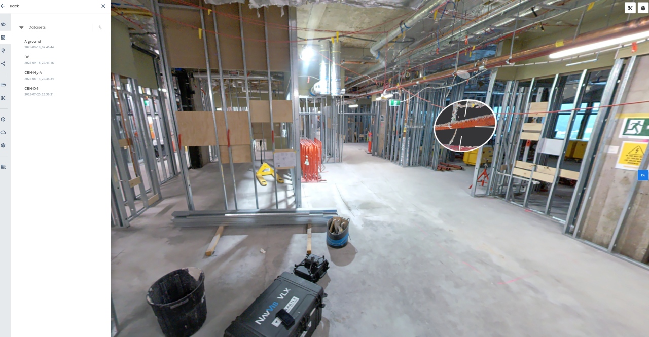
Geo Scan 3D was engaged by Hansen Yuncken to scan various floors for planning of the new redevelopment works.
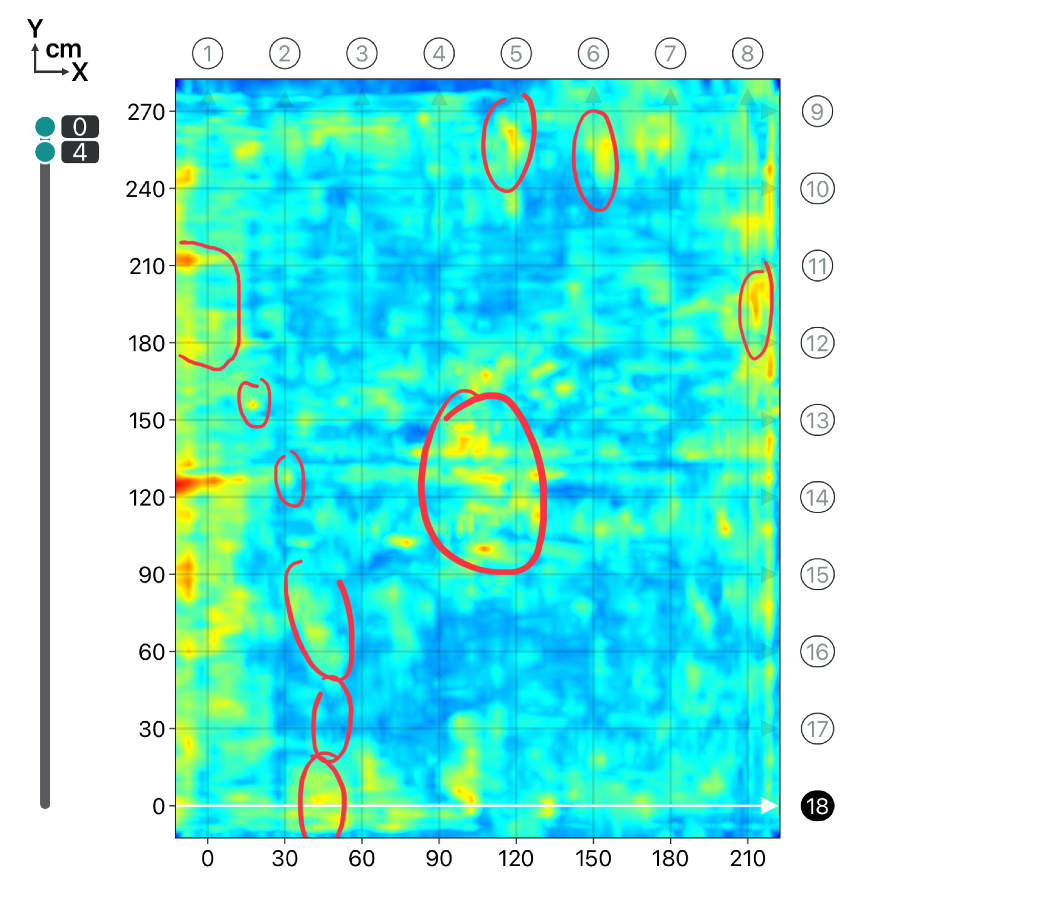
Geo Scan 3D provided multiple deliverables including:

_-2.7356_8.3856.png)

Fast. Accurate. No BS. We fly to your site anywhere in Australia and get the scan done
then deliver web-ready outputs your whole team can use without specialised software.
In a world where speed, precision, and data are critical, at Geo Scan 3D we don't just scan; we take your projects into the digital future. These are the core values that set us apart in the industry:

With our motto "One Scan, Multiple Solutions," we transform a single dataset from your site into numerous outputs such as Digital Twin, 3D Modeling, 2D Floor Plans, and Asset Tracking. This translates to both time and budget savings for our clients.
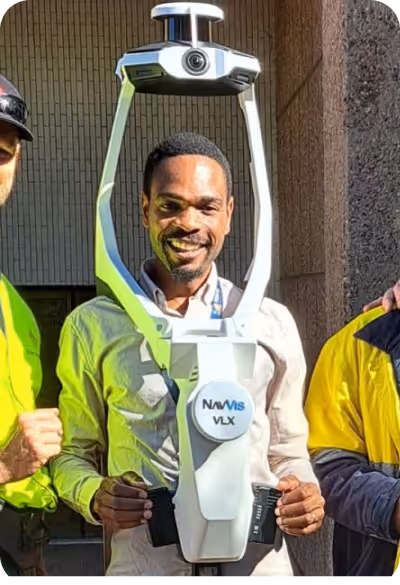
Our team, operating across Australia, is comprised not only of scanning specialists but also includes CASA-certified ReOC commercial drone operators and spatial data experts. We possess all the necessary expertise to conduct the most sensitive and secure operations on time on budget