Remote Asset Management
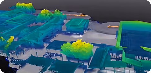
Digital Twin
Community
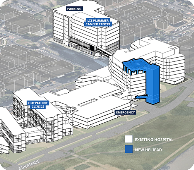
Infrastructure
Client
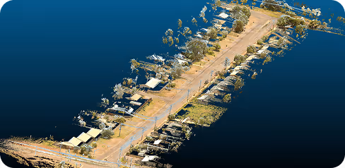
Coen Regional Aboriginal Corporation
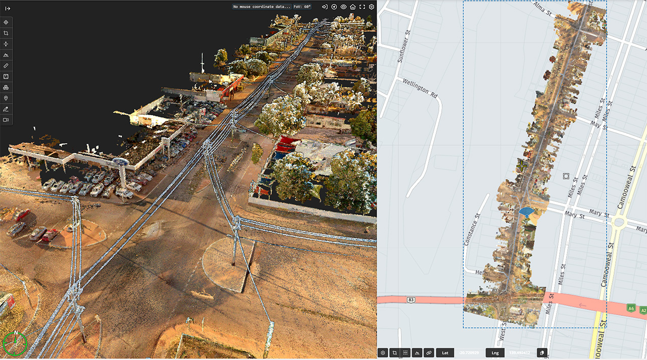
Location
Coen, Cape York, Australia
Project type
Asset Inventory · Strategic Planning
Asset scanned
45 Units
Geo Scan 3D flew to the remote community of Coen, where they were engaged by the Coen Regional Aboriginal Corporation to scan and capture:
The remote community relies on a centralised stakeholder to view, analyse and assess all of its assets. The scan and associated deliverables provided by Geo Scan 3D have given the Coen Regional Aboriginal Corporation access to the very best professional advice quickly and efficiently from anywhere in the world. This process eliminates the need and expense of organising private charter flights and time spent on-site collaboration, to name just a few benefits.
Coen Regional Aboriginal Corporation can now view on a cloud platform all community assets, indoor and outdoor spaces, to plan for future development, disaster planning, manage maintenance requirements and much more.


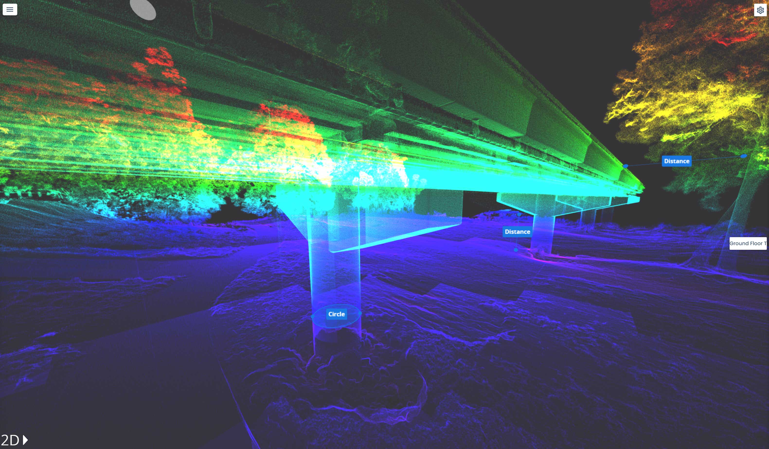
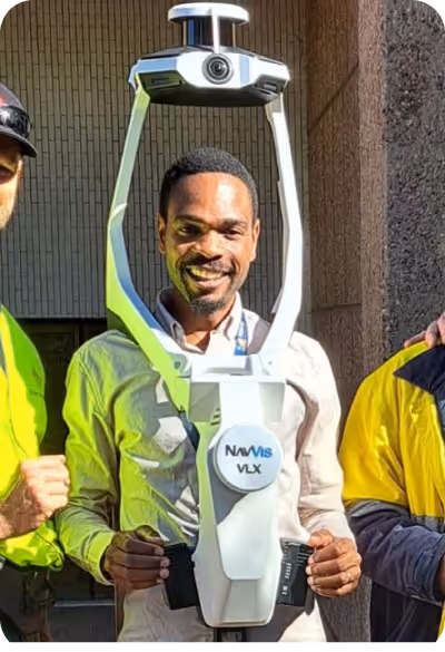
Fast. Accurate. No BS. We fly to your site anywhere in Australia and get the scan done
then deliver web-ready outputs your whole team can use without specialised software.
In a world where speed, precision, and data are critical, at Geo Scan 3D we don't just scan; we take your projects into the digital future. These are the core values that set us apart in the industry:

With our motto "One Scan, Multiple Solutions," we transform a single dataset from your site into numerous outputs such as Digital Twin, 3D Modeling, 2D Floor Plans, and Asset Tracking. This translates to both time and budget savings for our clients.
Our team, operating across Australia, is comprised not only of scanning specialists but also includes CASA-certified ReOC commercial drone operators and spatial data experts. We possess all the necessary expertise to conduct the most sensitive and secure operations on time on budget